Extended Coverage of French Geodata in windPRO – Orthophotos and Raster Maps
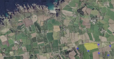
In May, four French digital terrain models (DTM’s) or MNT’s (Modèle Numérique de Terrain) were released with windPRO. Now the French geo-datasets in windPRO have been extended to include also French orthophotos and French Raster maps. Both maps are available as part of our dynamic, zoomable maps. All French geo-datasets are freely available for users of windPRO 3.2+ with an active subscription.
Read more here:
Elevation data: http://help.emd.dk/mediawiki/index.php?title=French_Elevation_Models
Orthophotos: http://help.emd.dk/mediawiki/index.php?title=French_Orthophoto_Mosaic
Raster-maps: http://help.emd.dk/mediawiki/index.php?title=French_Raster_Map
Acknowledgement: Elevations and maps: Are from the Institut National de l’Information Geographique et Forestiére (IGN) – 05/2019.