Ready for the next paradigm of elevation models? CopernicusDEM is now in windPRO!
You have probably heard this before: We just love the Shuttle Radar Topographic Mission (SRTM) elevation data. SRTM data from year 2000 is today the current paradigm for on-site orography in areas without high quality national elevation models. Tens of thousands of potential wind farm sites have relied on the excellent SRTM dataset which today accounts for 50% of all elevation downloads in windPRO.
We expect this to change with the paradigm of the new CopernicusDEM – already available from windPRO 3.4+.
CopernicusDEM is recently released from the European Space Agency (ESA) and offers several benefits over SRTM:
- A more recent dataset with data acquired between 2010-2015
- A documented higher vertical accuracy (see below)
- Full global coverage
Our recent evaluation at 3600 turbine locations in 9 different countries shows that the vertical error from the CopernicusDEM is about half of that of SRTM. Read more on CopernicusDEM and its validation in the windPRO knowledgebase.
Will you make the shift to the new CopernicusDEM paradigm?
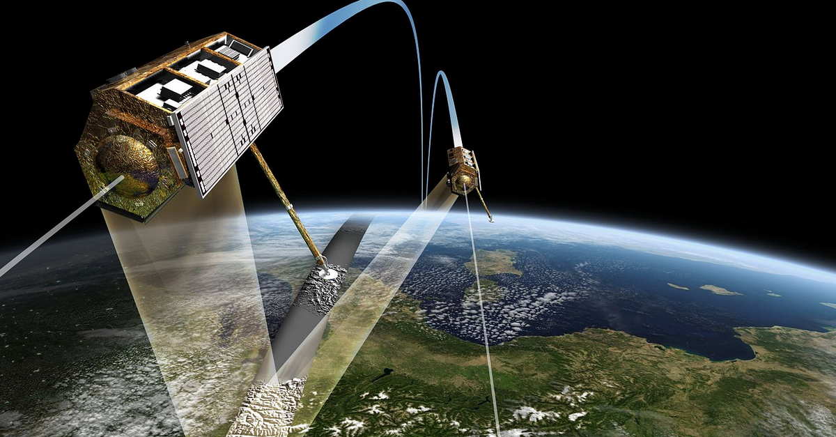
Illustration: The two radar satellites TanDEM-X and TerraSAR-X in close formation flight at 350m apart. The TanDEM-X mission is the data-source for the Copernicus DEM’s. Image-credit: DLR (CC-BY-3.0)